 vesseltracker.com
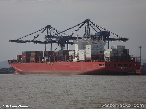
 San Fernando
Current Status
Where is the vessel?
San Fernando is currently in 115 nm W of Nayarit, based on AIS data received less than 1h ago.
Latest AIS update:
Current position: 21.10733° N, 108.51269° W (115 nm W of Nayarit)
Average speed (last 7 days): Loading…
Average speed (last 30 days): Loading…
Vessel profile: San Fernando is a Container Ship with dimensions 300m x 48m.
This page combines live AIS, route history, probable destination signals, nearby traffic, and port activity for practical vessel monitoring.
The current position of vessel San Fernando is 21.10733 lat / -108.51269 lng. Updated: 2026-05-15 16:10:37 UTCNearest reference points:
- 67 nm S of Los Cabos
- 35 nm S of Nayarit
- Near San Jose del Cabo
Currently sailing under the flag of Marshall Is ![]()
Details:
Live Vessel San Fernando Analytics (details, animations, etc.)
Recent AIS points (UTC):
2026-05-15 13:19:55 UTC · 20.66747, -107.86394 · SOG 15.4 kn · COG 307°2026-05-15 14:03:37 UTC · 20.77809, -108.02736 · SOG 15.6 kn · COG 307°
2026-05-15 15:53:49 UTC · 21.06289, -108.44477 · SOG 16.5 kn · COG 303°
2026-05-15 16:10:37 UTC · 21.10733, -108.51269 · SOG 16.7 kn · COG 304°