 vesseltracker.com
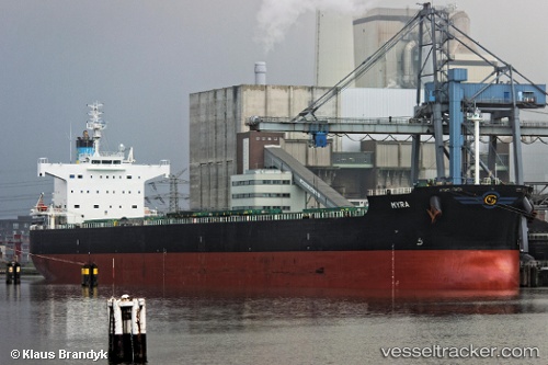
Myra
Current StatusWhere is the vessel?
Myra is currently in Near Panama, based on AIS data received less than 1h ago.
Latest AIS update:
Current position: 8.89295° N, 79.48998° W (Near Panama)
Average speed (last 7 days): Loading…
Average speed (last 30 days): Loading…
Vessel profile: Myra is a Bulk Carrier with dimensions 32m x 229m.
This page combines live AIS, route history, probable destination signals, nearby traffic, and port activity for practical vessel monitoring.
The current position of vessel Myra is 8.89295 lat / -79.48998 lng. Updated: 2026-05-14 18:03:19 UTCNearest reference points:
- Near Panama
- Near El Chorrillo
- Near Cocoli
Details:
Live Vessel Myra Analytics (details, animations, etc.)
Recent AIS points (UTC):
2026-05-14 14:15:02 UTC · 8.89352, -79.48982 · SOG 0.1 kn · COG 110°2026-05-14 16:21:26 UTC · 8.89345, -79.48989 · SOG 0.2 kn · COG 109°
2026-05-14 16:48:05 UTC · 8.89336, -79.48987 · SOG 0 kn · COG 108°
2026-05-14 18:03:19 UTC · 8.89295, -79.48998 · SOG 0.1 kn · COG 95°