 vesseltracker.com
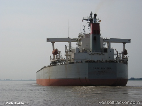
 CAPE FRIENDSHIP
Current Status
Where is the vessel?
CAPE FRIENDSHIP is currently in 121 nm S of Christmas Island, based on AIS data received about 85d ago.
Latest AIS update:
Current position: 0.03256° N, 156.92738° W (121 nm S of Christmas Island)
Average speed (last 7 days): Loading…
Average speed (last 30 days): Loading…
Vessel profile: CAPE FRIENDSHIP is a Bulk Carrier with dimensions 183m x 32m.
This page combines live AIS, route history, probable destination signals, nearby traffic, and port activity for practical vessel monitoring.
The current position of vessel CAPE FRIENDSHIP is 0.03256 lat / -156.92738 lng. Updated: 2026-02-03 08:28:07 UTCCurrently sailing under the flag of Marshall Islands ![]()
CAPE FRIENDSHIP built in 2005 year
Deadweight:
185879 tDetails:
Live Vessel CAPE FRIENDSHIP Analytics (details, animations, etc.)
Recent AIS points (UTC):
2026-02-03 08:28:07 UTC · 0.03256, -156.92738 · SOG 34.3 kn · COG -1°