 vesseltracker.com
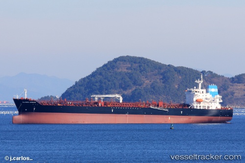
 Elandra Spruce
Current Status
Where is the vessel?
Elandra Spruce is currently in 13 nm SW of Pulau Indah, based on AIS data received less than 1h ago.
Latest AIS update:
Current position: 2.73034° N, 101.22306° E (13 nm SW of Pulau Indah)
Average speed (last 7 days): Loading…
Average speed (last 30 days): Loading…
Vessel profile: Elandra Spruce is a Chemical Oil Products Tanker with dimensions 183m x 32m.
This page combines live AIS, route history, probable destination signals, nearby traffic, and port activity for practical vessel monitoring.
The current position of vessel Elandra Spruce is 2.73034 lat / 101.22306 lng. Updated: 2026-04-29 23:59:16 UTCNearest reference points:
- Near Pulau Indah
- 15 nm SW of Banting
- Near Carey Island Estate
Currently sailing under the flag of Marshall Is ![]()
Details:
Live Vessel Elandra Spruce Analytics (details, animations, etc.)
Recent AIS points (UTC):
2026-04-29 19:52:26 UTC · 2.29875, 101.85434 · SOG 12.3 kn · COG 304°2026-04-29 21:52:16 UTC · 2.52438, 101.55577 · SOG 10.8 kn · COG 304°
2026-04-29 22:13:38 UTC · 2.56214, 101.50547 · SOG 10.7 kn · COG 304°
2026-04-29 23:59:16 UTC · 2.73034, 101.22306 · SOG 11.9 kn · COG 295°