 vesseltracker.com
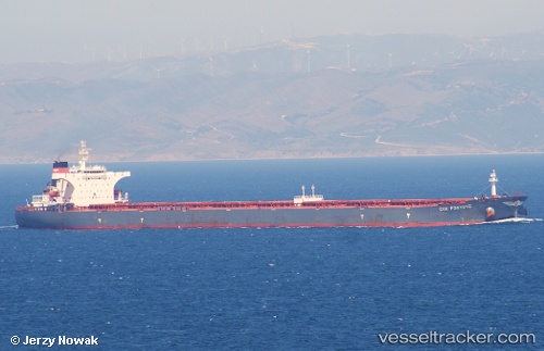
 S Cape
Current Status
Where is the vessel?
S Cape is currently in Near Tianjin Pt, based on AIS data received less than 1h ago.
Latest AIS update:
Current position: 38.95103° N, 117.85403° E (Near Tianjin Pt)
Average speed (last 7 days): Loading…
Average speed (last 30 days): Loading…
Vessel profile: S Cape is a Bulk Carrier with dimensions 289m x 45m.
This page combines live AIS, route history, probable destination signals, nearby traffic, and port activity for practical vessel monitoring.
The current position of vessel S Cape is 38.95103 lat / 117.85403 lng. Updated: 2026-04-27 22:15:35 UTCNearest reference points:
- Near Tianjin Pt
- Near Dagu Bar
- Near Tianjin Xingang Pt
Currently sailing under the flag of Marshall Is ![]()
S Cape built in 2003 year
Deadweight:
175526 tDetails:
Live Vessel S Cape Analytics (details, animations, etc.)
Recent AIS points (UTC):
2026-04-27 19:42:35 UTC · 38.95104, 117.85402 · SOG 0 kn · COG 282°2026-04-27 20:15:35 UTC · 38.95103, 117.85402 · SOG 0 kn · COG 281°
2026-04-27 21:42:36 UTC · 38.95103, 117.85403 · SOG 0 kn · COG 281°
2026-04-27 22:15:35 UTC · 38.95103, 117.85403 · SOG 0 kn · COG 281°