 vesseltracker.com
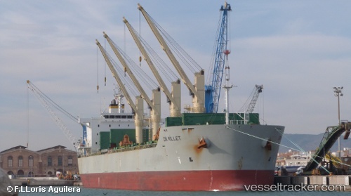
 Amilla
Current Status
Where is the vessel?
Amilla is currently in 26 nm N of Mtwara, based on AIS data received less than 1h ago.
Latest AIS update:
Current position: 9.82443° S, 40.20670° E (26 nm N of Mtwara)
Average speed (last 7 days): Loading…
Average speed (last 30 days): Loading…
Vessel profile: Amilla is a Bulk Carrier with dimensions 196m x 32m.
This page combines live AIS, route history, probable destination signals, nearby traffic, and port activity for practical vessel monitoring.
The current position of vessel Amilla is -9.82443 lat / 40.20670 lng. Updated: 2026-04-24 23:48:55 UTCNearest reference points:
- Near Mtwara
- 64 nm NE of Mtwara
Currently sailing under the flag of Marshall Is ![]()
Amilla built in 2011 year
Deadweight:
58444 tDetails:
Live Vessel Amilla Analytics (details, animations, etc.)
Recent AIS points (UTC):
2026-04-24 19:26:44 UTC · -9.86768, 40.33480 · SOG 2.2 kn · COG 233°2026-04-24 21:48:37 UTC · -9.85183, 40.25652 · SOG 1.7 kn · COG 236°
2026-04-24 22:31:45 UTC · -9.84622, 40.23587 · SOG 1.6 kn · COG 263°
2026-04-24 23:48:55 UTC · -9.82443, 40.20670 · SOG 1.7 kn · COG 267°