 vesseltracker.com
Cape Tempest
Current StatusWhere is the vessel?
Cape Tempest is currently in 86 nm SE of Vinh Cam Ranh, based on AIS data received less than 1h ago.
Latest AIS update:
Current position: 11.24741° N, 110.46798° E (86 nm SE of Vinh Cam Ranh)
Average speed (last 7 days): Loading…
Average speed (last 30 days): Loading…
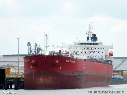
Vessel profile: Cape Tempest is a Crude Oil Tanker with dimensions 32m x 228m.
This page combines live AIS, route history, probable destination signals, nearby traffic, and port activity for practical vessel monitoring.
The current position of vessel Cape Tempest is 11.24741 lat / 110.46798 lng. Updated: 2026-04-29 18:21:52 UTCNearest reference points:
- 156 nm SE of Phan Rang-Tháp Chàm
- 163 nm E of Vinh Cam Ranh
- Near Vinh Cam Ranh
Details:
Live Vessel Cape Tempest Analytics (details, animations, etc.)
Recent AIS points (UTC):
2026-04-29 13:31:52 UTC · 12.12943, 110.94683 · SOG 12.9 kn · COG 202°2026-04-29 16:11:43 UTC · 11.63530, 110.67980 · SOG 12.4 kn · COG 203°
2026-04-29 16:44:12 UTC · 11.53500, 110.62333 · SOG 12 kn · COG -1°
2026-04-29 18:21:52 UTC · 11.24741, 110.46798 · SOG 11.5 kn · COG 211°