 vesseltracker.com
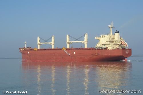
 KEY OHANA
Current Status
Where is the vessel?
KEY OHANA is currently in 149 nm N of Tanaga Bay, based on AIS data received less than 1h ago.
Latest AIS update:
Current position: 54.16925° N, 178.81056° W (149 nm N of Tanaga Bay)
Average speed (last 7 days): Loading…
Average speed (last 30 days): Loading…
Vessel profile: KEY OHANA is a Bulk Carrier with dimensions 33m x 190m.
This page combines live AIS, route history, probable destination signals, nearby traffic, and port activity for practical vessel monitoring.
The current position of vessel KEY OHANA is 54.16925 lat / -178.81056 lng. Updated: 2026-04-25 01:32:52 UTCCurrently sailing under the flag of Marshall Islands ![]()
KEY OHANA built in 2010 year
Deadweight:
55705 tDetails:
Live Vessel KEY OHANA Analytics (details, animations, etc.)
Recent AIS points (UTC):
2026-04-24 22:21:41 UTC · 54.17740, -177.86925 · SOG 10 kn · COG 272°2026-04-24 23:41:44 UTC · 54.17298, -178.26010 · SOG 10.2 kn · COG 271°
2026-04-25 01:16:52 UTC · 54.17119, -178.73119 · SOG 10.4 kn · COG 270°
2026-04-25 01:32:52 UTC · 54.16925, -178.81056 · SOG 10.3 kn · COG 270°