 vesseltracker.com
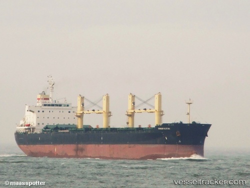
 PRINCESS ERIN
Current Status
Where is the vessel?
PRINCESS ERIN is currently in 20 nm NW of Abu Zenimah, based on AIS data received about 4h ago.
Latest AIS update:
Current position: 29.20203° N, 32.76839° E (20 nm NW of Abu Zenimah)
Average speed (last 7 days): Loading…
Average speed (last 30 days): Loading…
Vessel profile: PRINCESS ERIN is a Bulk Carrier with dimensions 32m x 190m.
This page combines live AIS, route history, probable destination signals, nearby traffic, and port activity for practical vessel monitoring.
The current position of vessel PRINCESS ERIN is 29.20203 lat / 32.76839 lng. Updated: 2026-04-24 15:54:01 UTCNearest reference points:
- Near Ras Sudr
- Near Al Adabiyah
- Near Bur Ibrahim
Currently sailing under the flag of Marshall Islands ![]()
PRINCESS ERIN built in 2011 year
Deadweight:
57334 tDetails:
Live Vessel PRINCESS ERIN Analytics (details, animations, etc.)
Recent AIS points (UTC):
2026-04-24 15:54:01 UTC · 29.20203, 32.76839 · SOG 11.5 kn · COG 336°2026-04-24 15:54:01 UTC · 29.20203, 32.76839 · SOG 11.5 kn · COG 336°
2026-04-24 15:54:01 UTC · 29.20203, 32.76839 · SOG 11.5 kn · COG 336°
2026-04-24 15:54:01 UTC · 29.20203, 32.76839 · SOG 11.5 kn · COG 336°