 vesseltracker.com
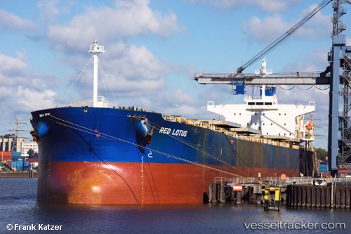
 CUMA
CUMA
Current Status
Where is the vessel?
CUMA is currently in 23 nm SW of Vigan, based on AIS data received about 67d ago.
Latest AIS update:
Current position: 17.38586° N, 120.03482° E (23 nm SW of Vigan)
Average speed (last 7 days): Loading…
Average speed (last 30 days): Loading…
Vessel profile: CUMA is a Bulk Carrier with dimensions 229m x 32m.
This page combines live AIS, route history, probable destination signals, nearby traffic, and port activity for practical vessel monitoring.
The current position of vessel CUMA is 17.38586 lat / 120.03482 lng. Updated: 2026-02-24 04:28:25 UTCNearest reference points:
- 22 nm W of Salomague
- 138 nm NW of Bolinao
- 34 nm W of Iba
Currently sailing under the flag of Marshall Islands ![]()
CUMA built in 2006 year
Deadweight:
83007 tDetails:
Live Vessel CUMA Analytics (details, animations, etc.)
Recent AIS points (UTC):
2026-02-24 04:28:25 UTC · 17.38586, 120.03482 · SOG 10.9 kn · COG -1°