 vesseltracker.com
 SODA
SODA
Current Status
Where is the vessel?
SODA is currently in Near Derince, based on AIS data received about 2h ago.
Latest AIS update:
Current position: 40.74684° N, 29.82802° E (Near Derince)
Average speed (last 7 days): Loading…
Average speed (last 30 days): Loading…
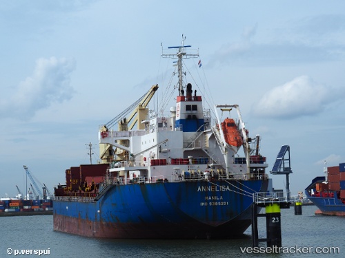
Vessel profile: SODA is a Bulk Carrier with dimensions 138m x 25m.
This page combines live AIS, route history, probable destination signals, nearby traffic, and port activity for practical vessel monitoring.
The current position of vessel SODA is 40.74684 lat / 29.82802 lng. Updated: 2026-03-28 15:38:30 UTCNearest reference points:
- Near Derince
- Near AUTOPORT
- Near KORFEZ
Currently sailing under the flag of Marshall Islands ![]()
SODA built in 2008 year
Deadweight:
18920 tDetails:
Live Vessel SODA Analytics (details, animations, etc.)
Recent AIS points (UTC):
2026-03-28 10:22:41 UTC · 40.74685, 29.82807 · SOG 0 kn · COG -1°2026-03-28 11:50:29 UTC · 40.74687, 29.82803 · SOG 0 kn · COG 81°
2026-03-28 13:26:30 UTC · 40.74685, 29.82798 · SOG 0 kn · COG 81°
2026-03-28 15:38:30 UTC · 40.74684, 29.82802 · SOG 0 kn · COG 81°