 vesseltracker.com
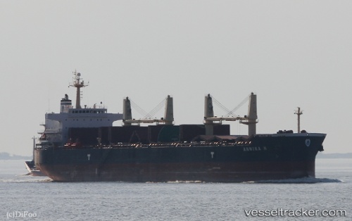
 ANNIKA N
Current Status
Where is the vessel?
ANNIKA N is currently in Near Oran, based on AIS data received less than 1h ago.
Latest AIS update:
Current position: 35.71200° N, 0.63720° W (Near Oran)
Average speed (last 7 days): Loading…
Average speed (last 30 days): Loading…
Vessel profile: ANNIKA N is a Bulk Carrier with dimensions 190m x 33m.
This page combines live AIS, route history, probable destination signals, nearby traffic, and port activity for practical vessel monitoring.
The current position of vessel ANNIKA N is 35.71200 lat / -0.63720 lng. Updated: 2026-04-24 05:45:58 UTCNearest reference points:
- Near Oran
- Near Arzew
- 30 nm N of Mers El Kebir
Currently sailing under the flag of Marshall Islands ![]()
ANNIKA N built in 2011 year
Deadweight:
55768 tDetails:
Live Vessel ANNIKA N Analytics (details, animations, etc.)
Recent AIS points (UTC):
2026-04-24 01:57:57 UTC · 35.71203, -0.63715 · SOG 0 kn · COG 188°2026-04-24 04:06:57 UTC · 35.71200, -0.63720 · SOG 0 kn · COG 188°
2026-04-24 04:21:57 UTC · 35.71193, -0.63717 · SOG 0 kn · COG 188°
2026-04-24 05:45:58 UTC · 35.71200, -0.63720 · SOG 0 kn · COG 188°