 vesseltracker.com
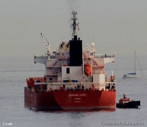
 FORTUNE STAR
Current Status
Where is the vessel?
FORTUNE STAR is currently in Near Taganito, based on AIS data received about 4d ago.
Latest AIS update:
Current position: 9.52115° N, 125.88972° E (Near Taganito)
Average speed (last 7 days): Loading…
Average speed (last 30 days): Loading…
Vessel profile: FORTUNE STAR is a Bulk Carrier with dimensions 190m x 190m.
This page combines live AIS, route history, probable destination signals, nearby traffic, and port activity for practical vessel monitoring.
The current position of vessel FORTUNE STAR is 9.52115 lat / 125.88972 lng. Updated: 2026-05-10 13:26:27 UTCNearest reference points:
- Near Taganito
- Near Hilongos
- 16 nm E of Danao
Currently sailing under the flag of Marshall Islands ![]()
FORTUNE STAR built in 2010 year
Deadweight:
57573 tDetails:
Live Vessel FORTUNE STAR Analytics (details, animations, etc.)
Recent AIS points (UTC):
2026-05-10 13:26:27 UTC · 9.52115, 125.88972 · SOG 0.1 kn · COG 43°2026-05-10 13:26:27 UTC · 9.52115, 125.88972 · SOG 0.1 kn · COG 43°
2026-05-10 13:26:27 UTC · 9.52115, 125.88972 · SOG 0.1 kn · COG 43°
2026-05-10 13:26:27 UTC · 9.52115, 125.88972 · SOG 0.1 kn · COG 43°