 vesseltracker.com
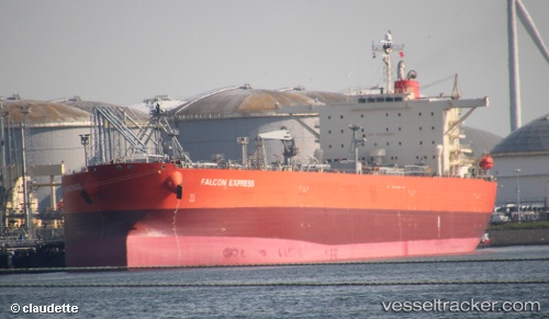
 VELOS EMERALD
Current Status
Where is the vessel?
VELOS EMERALD is currently in 65 nm SE of Balhaf, based on AIS data received less than 1h ago.
Latest AIS update:
Current position: 12.97223° N, 48.62895° E (65 nm SE of Balhaf)
Average speed (last 7 days): Loading…
Average speed (last 30 days): Loading…
Vessel profile: VELOS EMERALD is a Crude Oil Tanker with dimensions 244m x 244m.
This page combines live AIS, route history, probable destination signals, nearby traffic, and port activity for practical vessel monitoring.
The current position of vessel VELOS EMERALD is 12.97223 lat / 48.62895 lng. Updated: 2026-05-15 03:52:52 UTCCurrently sailing under the flag of Marshall Islands ![]()
VELOS EMERALD built in 2008 year
Deadweight:
115042 tDetails:
Live Vessel VELOS EMERALD Analytics (details, animations, etc.)
Recent AIS points (UTC):
2026-05-14 22:37:18 UTC · 12.62753, 47.59652 · SOG 12.2 kn · COG 68°2026-05-15 00:05:30 UTC · 12.71797, 47.88958 · SOG 12.2 kn · COG 68°
2026-05-15 03:23:59 UTC · 12.93930, 48.53515 · SOG 12.2 kn · COG 71°
2026-05-15 03:52:52 UTC · 12.97223, 48.62895 · SOG 12 kn · COG 71°