 vesseltracker.com
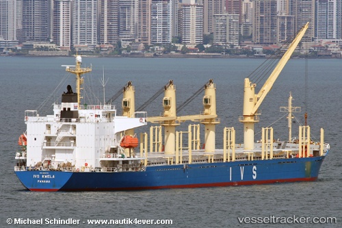
 BLUE EVERTON
Current Status
Where is the vessel?
BLUE EVERTON is currently in Near Blankenberge, based on AIS data received about 37d ago.
Latest AIS update:
Current position: 51.42834° N, 2.97667° E (Near Blankenberge)
Average speed (last 7 days): Loading…
Average speed (last 30 days): Loading…
Vessel profile: BLUE EVERTON is a Bulk Carrier with dimensions 177m x 28m.
This page combines live AIS, route history, probable destination signals, nearby traffic, and port activity for practical vessel monitoring.
The current position of vessel BLUE EVERTON is 51.42834 lat / 2.97667 lng. Updated: 2026-03-22 22:09:41 UTCNearest reference points:
- Near Thorntonbank
- Near Oostende
- Near Sas-Slijkens
Currently sailing under the flag of Marshall Islands ![]()
BLUE EVERTON built in 2002 year
Deadweight:
32474 tDetails:
Live Vessel BLUE EVERTON Analytics (details, animations, etc.)
Recent AIS points (UTC):
2026-03-22 22:09:41 UTC · 51.42834, 2.97667 · SOG 4.3 kn · COG 156°