 vesseltracker.com
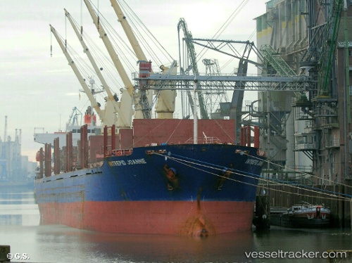
 BLUE ALEXANDRA
Current Status
Where is the vessel?
BLUE ALEXANDRA is currently in Near Dumai, based on AIS data received about 3h ago.
Latest AIS update:
Current position: 1.70302° N, 101.49221° E (Near Dumai)
Average speed (last 7 days): Loading…
Average speed (last 30 days): Loading…
Vessel profile: BLUE ALEXANDRA is a Bulk Carrier with dimensions 177m x 28m.
This page combines live AIS, route history, probable destination signals, nearby traffic, and port activity for practical vessel monitoring.
The current position of vessel BLUE ALEXANDRA is 1.70302 lat / 101.49221 lng. Updated: 2026-05-17 16:54:26 UTCNearest reference points:
- Near Dumai
- 14 nm W of SUNGAI UDANG
- 13 nm SW of PORT DICKSON
Currently sailing under the flag of Marshall Islands ![]()
BLUE ALEXANDRA built in 2005 year
Deadweight:
32545 tDetails:
Live Vessel BLUE ALEXANDRA Analytics (details, animations, etc.)
Recent AIS points (UTC):
2026-05-17 16:15:26 UTC · 1.70280, 101.49230 · SOG 0 kn · COG 117°2026-05-17 16:54:26 UTC · 1.70302, 101.49221 · SOG 0.1 kn · COG 117°
2026-05-17 16:54:26 UTC · 1.70302, 101.49221 · SOG 0.1 kn · COG 117°
2026-05-17 16:54:26 UTC · 1.70302, 101.49221 · SOG 0.1 kn · COG 117°