 vesseltracker.com
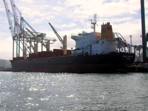
 GABRIELLA
Current Status
Where is the vessel?
GABRIELLA is currently in 239 nm SE of NANTUCKET, based on AIS data received less than 1h ago.
Latest AIS update:
Current position: 38.60167° N, 66.25833° W (239 nm SE of NANTUCKET)
Average speed (last 7 days): Loading…
Average speed (last 30 days): Loading…
Vessel profile: GABRIELLA is a Bulk Carrier with dimensions 183m x 183m.
This page combines live AIS, route history, probable destination signals, nearby traffic, and port activity for practical vessel monitoring.
The current position of vessel GABRIELLA is 38.60167 lat / -66.25833 lng. Updated: 2026-04-30 21:55:02 UTCNearest reference points:
- 273 nm SE of NANTUCKET
Currently sailing under the flag of Marshall Islands ![]()
GABRIELLA built in 2013 year
Deadweight:
36887 tDetails:
Live Vessel GABRIELLA Analytics (details, animations, etc.)
Recent AIS points (UTC):
2026-04-30 17:55:00 UTC · 38.63333, -65.40833 · SOG 8 kn · COG -1°2026-04-30 19:37:00 UTC · 38.61833, -65.74500 · SOG 9 kn · COG -1°
2026-04-30 20:13:02 UTC · 38.61500, -65.86833 · SOG 9 kn · COG -1°
2026-04-30 21:55:02 UTC · 38.60167, -66.25833 · SOG 11 kn · COG -1°