 vesseltracker.com
 MONT FORT
Current Status
Where is the vessel?
MONT FORT is currently in 82 nm E of Boston/Davao, based on AIS data received less than 1h ago.
Latest AIS update:
Current position: 8.36167° N, 127.63167° E (82 nm E of Boston/Davao)
Average speed (last 7 days): Loading…
Average speed (last 30 days): Loading…
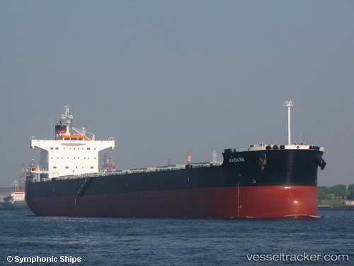
Vessel profile: MONT FORT is a Bulk Carrier with dimensions 227m x 32m.
This page combines live AIS, route history, probable destination signals, nearby traffic, and port activity for practical vessel monitoring.
The current position of vessel MONT FORT is 8.36167 lat / 127.63167 lng. Updated: 2026-05-15 07:43:01 UTCNearest reference points:
- Near Taganito
- Near DICT / SVT
Currently sailing under the flag of Marshall Islands ![]()
MONT FORT built in 2012 year
Deadweight:
82113 tDetails:
Live Vessel MONT FORT Analytics (details, animations, etc.)
Recent AIS points (UTC):
2026-05-15 04:45:59 UTC · 9.05333, 127.54667 · SOG 15 kn · COG -1°2026-05-15 05:34:00 UTC · 8.84666, 127.56833 · SOG 15 kn · COG -1°
2026-05-15 07:01:00 UTC · 8.51833, 127.61833 · SOG 13 kn · COG -1°
2026-05-15 07:43:01 UTC · 8.36167, 127.63167 · SOG 13 kn · COG -1°