 vesseltracker.com
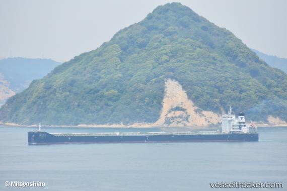
 DIAMOND GLOBE
Current Status
Where is the vessel?
DIAMOND GLOBE is currently in Near Thetis Island, based on AIS data received less than 1h ago.
Latest AIS update:
Current position: 48.94333° N, 123.72167° W (Near Thetis Island)
Average speed (last 7 days): Loading…
Average speed (last 30 days): Loading…
Vessel profile: DIAMOND GLOBE is a Bulk Carrier with dimensions 32m x 229m.
This page combines live AIS, route history, probable destination signals, nearby traffic, and port activity for practical vessel monitoring.
The current position of vessel DIAMOND GLOBE is 48.94333 lat / -123.72167 lng. Updated: 2026-04-22 01:25:35 UTCNearest reference points:
- Near Cassidy
- Near Harmac
- Near Nanaimo
Currently sailing under the flag of Marshall Islands ![]()
DIAMOND GLOBE built in 2018 year
Deadweight:
82027 tDetails:
Live Vessel DIAMOND GLOBE Analytics (details, animations, etc.)
Recent AIS points (UTC):
2026-04-21 22:19:36 UTC · 48.94500, -123.72167 · SOG 0 kn · COG -1°2026-04-21 22:19:36 UTC · 48.94500, -123.72167 · SOG 0 kn · COG -1°
2026-04-21 23:28:27 UTC · 48.94421, -123.72213 · SOG 0.1 kn · COG 95°
2026-04-22 01:25:35 UTC · 48.94333, -123.72167 · SOG 0 kn · COG -1°