 vesseltracker.com
 MANTA CICEK
Current Status
Where is the vessel?
MANTA CICEK is currently in 25 nm N of Casablanca, based on AIS data received about 1h ago.
Latest AIS update:
Current position: 34.00911° N, 7.74873° W (25 nm N of Casablanca)
Average speed (last 7 days): Loading…
Average speed (last 30 days): Loading…
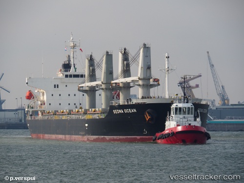
Vessel profile: MANTA CICEK is a Bulk Carrier with dimensions 175m x 29m.
This page combines live AIS, route history, probable destination signals, nearby traffic, and port activity for practical vessel monitoring.
The current position of vessel MANTA CICEK is 34.00911 lat / -7.74873 lng. Updated: 2026-05-13 19:38:48 UTCNearest reference points:
- Near Mohammedia
- 54 nm N of El Jadida
- 21 nm NW of El Jadida
Currently sailing under the flag of Marshall Islands ![]()
MANTA CICEK built in 2011 year
Deadweight:
31997 tDetails:
Live Vessel MANTA CICEK Analytics (details, animations, etc.)
Recent AIS points (UTC):
2026-05-13 16:27:34 UTC · 33.88009, -7.71293 · SOG 1.5 kn · COG 257°2026-05-13 18:07:38 UTC · 33.84291, -7.74394 · SOG 5.2 kn · COG 289°
2026-05-13 19:06:28 UTC · 33.95935, -7.73738 · SOG 8.1 kn · COG 11°
2026-05-13 19:38:48 UTC · 34.00911, -7.74873 · SOG 4.6 kn · COG 343°