 vesseltracker.com
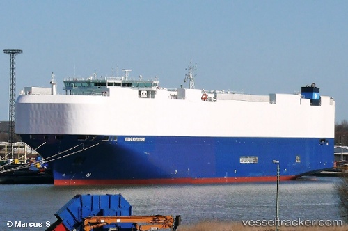
 VIKING ADVENTURE
Current Status
Where is the vessel?
VIKING ADVENTURE is currently in Near Lazaro Cardenas, based on AIS data received about 1h ago.
Latest AIS update:
Current position: 17.94646° N, 102.17348° W (Near Lazaro Cardenas)
Average speed (last 7 days): Loading…
Average speed (last 30 days): Loading…
Vessel profile: VIKING ADVENTURE is a Vehicles Carrier with dimensions 199m x 32m.
This page combines live AIS, route history, probable destination signals, nearby traffic, and port activity for practical vessel monitoring.
The current position of vessel VIKING ADVENTURE is 17.94646 lat / -102.17348 lng. Updated: 2026-04-13 09:36:32 UTCNearest reference points:
- Near Lazaro Cardenas
- Near Ixtapa/Zihuatanejo
- 43 nm SW of Antunez
Currently sailing under the flag of Marshall Islands ![]()
VIKING ADVENTURE built in 2015 year
Deadweight:
18372 tDetails:
Live Vessel VIKING ADVENTURE Analytics (details, animations, etc.)
Recent AIS points (UTC):
2026-04-13 03:36:30 UTC · 17.94650, -102.17348 · SOG 0 kn · COG 204°2026-04-13 05:24:32 UTC · 17.94645, -102.17348 · SOG 0 kn · COG 204°
2026-04-13 07:39:30 UTC · 17.94646, -102.17347 · SOG 0 kn · COG 204°
2026-04-13 09:36:32 UTC · 17.94646, -102.17348 · SOG 0 kn · COG 204°