 vesseltracker.com
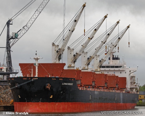
 CLIPPER PALMA
Current Status
Where is the vessel?
CLIPPER PALMA is currently in 45 nm SE of Geomundo, based on AIS data received about 5d ago.
Latest AIS update:
Current position: 33.60706° N, 128.05614° E (45 nm SE of Geomundo)
Average speed (last 7 days): Loading…
Average speed (last 30 days): Loading…
Vessel profile: CLIPPER PALMA is a Bulk Carrier with dimensions 180m x 30m.
This page combines live AIS, route history, probable destination signals, nearby traffic, and port activity for practical vessel monitoring.
The current position of vessel CLIPPER PALMA is 33.60706 lat / 128.05614 lng. Updated: 2026-05-09 17:32:36 UTCNearest reference points:
- 35 nm E of Geomundo
- 25 nm S of Kukdo
- 12 nm E of Geomundo
Currently sailing under the flag of Marshall Islands ![]()
CLIPPER PALMA built in 2010 year
Deadweight:
34399 tDetails:
Live Vessel CLIPPER PALMA Analytics (details, animations, etc.)
Recent AIS points (UTC):
2026-05-09 17:32:36 UTC · 33.60706, 128.05614 · SOG 15.5 kn · COG 5°2026-05-09 17:32:36 UTC · 33.60706, 128.05614 · SOG 15.5 kn · COG 5°
2026-05-09 17:32:36 UTC · 33.60706, 128.05614 · SOG 15.5 kn · COG 5°
2026-05-09 17:32:36 UTC · 33.60706, 128.05614 · SOG 15.5 kn · COG 5°
2026-05-09 17:32:36 UTC · 33.60706, 128.05614 · SOG 15.5 kn · COG 5°
2026-05-09 17:32:36 UTC · 33.60706, 128.05614 · SOG 15.5 kn · COG 5°