 vesseltracker.com
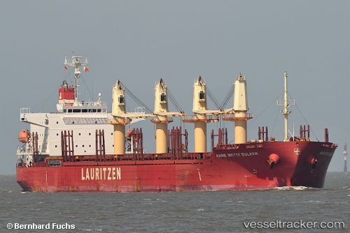
 LADY SARE
Current Status
Where is the vessel?
LADY SARE is currently in Near Port Bolivar, based on AIS data received about 1h ago.
Latest AIS update:
Current position: 29.28879° N, 94.62586° W (Near Port Bolivar)
Average speed (last 7 days): Loading…
Average speed (last 30 days): Loading…
Vessel profile: LADY SARE is a General Cargo Ship with dimensions 31m x 185m.
This page combines live AIS, route history, probable destination signals, nearby traffic, and port activity for practical vessel monitoring.
The current position of vessel LADY SARE is 29.28879 lat / -94.62586 lng. Updated: 2026-04-18 15:26:24 UTCNearest reference points:
- 12 nm SE of Port Bolivar
- Near Port Bolivar
- Near Texas City
Currently sailing under the flag of Marshall Islands ![]()
LADY SARE built in 2012 year
Deadweight:
38118 tDetails:
Live Vessel LADY SARE Analytics (details, animations, etc.)
Recent AIS points (UTC):
2026-04-18 09:32:15 UTC · 29.73473, -95.14431 · SOG 0 kn · COG 95°2026-04-18 12:01:43 UTC · 29.66052, -94.97335 · SOG 9.1 kn · COG 161°
2026-04-18 13:45:06 UTC · 29.42841, -94.83250 · SOG 8.5 kn · COG 155°
2026-04-18 15:26:24 UTC · 29.28879, -94.62586 · SOG 8.4 kn · COG 126°