 vesseltracker.com
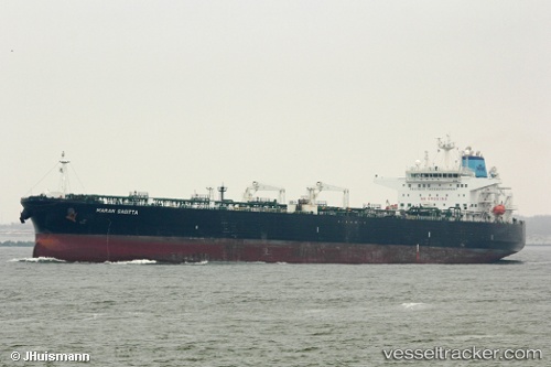
 P. SOPHIA
Current Status
Where is the vessel?
P. SOPHIA is currently in 56 nm SW of Moss Beach, based on AIS data received less than 1h ago.
Latest AIS update:
Current position: 37.03738° N, 123.51007° W (56 nm SW of Moss Beach)
Average speed (last 7 days): Loading…
Average speed (last 30 days): Loading…
Vessel profile: P. SOPHIA is a Crude Oil Tanker with dimensions 244m x 244m.
This page combines live AIS, route history, probable destination signals, nearby traffic, and port activity for practical vessel monitoring.
The current position of vessel P. SOPHIA is 37.03738 lat / -123.51007 lng. Updated: 2026-05-14 03:30:36 UTCNearest reference points:
- Near Marin City
- Near TIBURON
- Near Bodega Bay
Currently sailing under the flag of Marshall Islands ![]()
P. SOPHIA built in 2009 year
Deadweight:
105071 tDetails:
Live Vessel P. SOPHIA Analytics (details, animations, etc.)
Recent AIS points (UTC):
2026-05-13 23:31:56 UTC · 37.17227, -123.46428 · SOG 2 kn · COG 261°2026-05-14 01:57:28 UTC · 37.09083, -123.48197 · SOG 1.9 kn · COG 265°
2026-05-14 02:24:26 UTC · 37.07543, -123.48957 · SOG 2.1 kn · COG 267°
2026-05-14 03:30:36 UTC · 37.03738, -123.51007 · SOG 2.1 kn · COG 261°