 vesseltracker.com
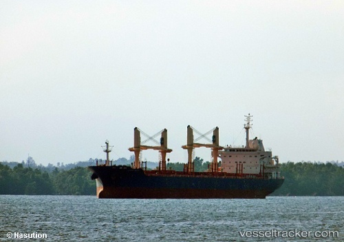
 STELIOS T
Current Status
Where is the vessel?
STELIOS T is currently in 27 nm NW of Villa Cisneros, based on AIS data received about 1h ago.
Latest AIS update:
Current position: 23.85932° N, 16.41826° W (27 nm NW of Villa Cisneros)
Average speed (last 7 days): Loading…
Average speed (last 30 days): Loading…
Vessel profile: STELIOS T is a Bulk Carrier with dimensions m x m.
This page combines live AIS, route history, probable destination signals, nearby traffic, and port activity for practical vessel monitoring.
The current position of vessel STELIOS T is 23.85932 lat / -16.41826 lng. Updated: 2026-05-14 14:05:55 UTCNearest reference points:
- Near DAKHLA
- 68 nm NW of Ad Dakhla
- 110 nm NE of Las Brujas
Currently sailing under the flag of Marshall Islands ![]()
Details:
Live Vessel STELIOS T Analytics (details, animations, etc.)
Recent AIS points (UTC):
2026-05-14 10:38:09 UTC · 24.56126, -15.97353 · SOG 13.9 kn · COG 210°2026-05-14 11:34:24 UTC · 24.37232, -16.09429 · SOG 13.9 kn · COG 207°
2026-05-14 13:38:39 UTC · 23.95111, -16.35785 · SOG 14.2 kn · COG 211°
2026-05-14 14:05:55 UTC · 23.85932, -16.41826 · SOG 14.2 kn · COG 209°