 vesseltracker.com
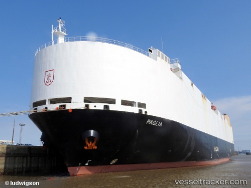
 VIKING PAGLIA
Current Status
Where is the vessel?
VIKING PAGLIA is currently in 16 nm W of IZUHARA, based on AIS data received less than 1h ago.
Latest AIS update:
Current position: 34.19702° N, 128.97363° E (16 nm W of IZUHARA)
Average speed (last 7 days): Loading…
Average speed (last 30 days): Loading…
Vessel profile: VIKING PAGLIA is a Vehicles Carrier with dimensions m x m.
This page combines live AIS, route history, probable destination signals, nearby traffic, and port activity for practical vessel monitoring.
The current position of vessel VIKING PAGLIA is 34.19702 lat / 128.97363 lng. Updated: 2026-04-27 15:58:37 UTCNearest reference points:
- 22 nm SE of Kukdo
- 33 nm W of IZUHARA
- 15 nm S of Kukdo
Currently sailing under the flag of Marshall Islands ![]()
Details:
Live Vessel VIKING PAGLIA Analytics (details, animations, etc.)
Recent AIS points (UTC):
2026-04-27 11:10:40 UTC · 32.94333, 128.37334 · SOG 17 kn · COG -1°2026-04-27 14:01:42 UTC · 33.69667, 128.74167 · SOG 17 kn · COG -1°
2026-04-27 15:46:45 UTC · 34.14667, 128.95166 · SOG 16 kn · COG -1°
2026-04-27 15:58:37 UTC · 34.19702, 128.97363 · SOG 16.3 kn · COG 18°