 vesseltracker.com
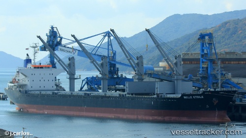
 CAPE DOUKATO
Current Status
Where is the vessel?
CAPE DOUKATO is currently in 319 nm S of Harper, based on AIS data received about 1h ago.
Latest AIS update:
Current position: 0.95020° S, 7.64786° W (319 nm S of Harper)
Average speed (last 7 days): Loading…
Average speed (last 30 days): Loading…
Vessel profile: CAPE DOUKATO is a Cargo with dimensions m x m.
This page combines live AIS, route history, probable destination signals, nearby traffic, and port activity for practical vessel monitoring.
The current position of vessel CAPE DOUKATO is -0.95020 lat / -7.64786 lng. Updated: 2026-05-02 19:03:50 UTCNearest reference points:
- 390 nm S of Harper
- Open sea, approx. 400 nm off the nearest listed port
- Open sea, approx. 411 nm off the nearest listed port
Currently sailing under the flag of Marshall Islands ![]()
Details:
Live Vessel CAPE DOUKATO Analytics (details, animations, etc.)
Recent AIS points (UTC):
2026-05-02 16:17:31 UTC · -0.62106, -7.97670 · SOG 9.9 kn · COG 133°2026-05-02 16:51:22 UTC · -0.68710, -7.90975 · SOG 10.1 kn · COG 133°
2026-05-02 17:44:52 UTC · -0.79278, -7.80321 · SOG 10.1 kn · COG 133°
2026-05-02 19:03:50 UTC · -0.95020, -7.64786 · SOG 9.9 kn · COG 137°