 vesseltracker.com
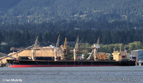
 DUBAI CROWN
Current Status
Where is the vessel?
DUBAI CROWN is currently in 249 nm SE of Manakara, based on AIS data received less than 1h ago.
Latest AIS update:
Current position: 24.56892° S, 51.68750° E (249 nm SE of Manakara)
Average speed (last 7 days): Loading…
Average speed (last 30 days): Loading…
Vessel profile: DUBAI CROWN is a Bulk Carrier with dimensions m x m.
This page combines live AIS, route history, probable destination signals, nearby traffic, and port activity for practical vessel monitoring.
The current position of vessel DUBAI CROWN is -24.56892 lat / 51.68750 lng. Updated: 2026-04-24 22:30:16 UTCNearest reference points:
- 209 nm E of Manakara
- 194 nm E of Manakara
- 271 nm E of Fort Dauphin
Currently sailing under the flag of Marshall Islands ![]()
Details:
Live Vessel DUBAI CROWN Analytics (details, animations, etc.)
Recent AIS points (UTC):
2026-04-24 19:07:42 UTC · -24.25488, 52.24894 · SOG 10.6 kn · COG 237°2026-04-24 19:28:11 UTC · -24.28694, 52.19277 · SOG 10.6 kn · COG 237°
2026-04-24 21:48:03 UTC · -24.50558, 51.80203 · SOG 10.4 kn · COG 238°
2026-04-24 22:30:16 UTC · -24.56892, 51.68750 · SOG 10.4 kn · COG 243°