 vesseltracker.com
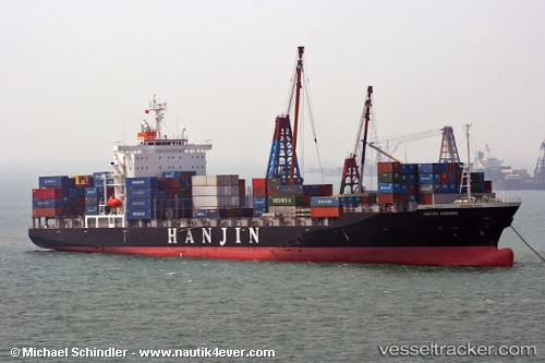
 TEH TAICHUNG
Current Status
Where is the vessel?
TEH TAICHUNG is currently in 302 nm E of Koodoo Fisheries, based on AIS data received less than 1h ago.
Latest AIS update:
Current position: 0.41333° S, 78.33667° E (302 nm E of Koodoo Fisheries)
Average speed (last 7 days): Loading…
Average speed (last 30 days): Loading…
Vessel profile: TEH TAICHUNG is a Container Ship with dimensions m x m.
This page combines live AIS, route history, probable destination signals, nearby traffic, and port activity for practical vessel monitoring.
The current position of vessel TEH TAICHUNG is -0.41333 lat / 78.33667 lng. Updated: 2026-05-17 14:12:08 UTCNearest reference points:
- Open sea, approx. 401 nm off the nearest listed port
- Open sea, approx. 403 nm off the nearest listed port
- Open sea, approx. 405 nm off the nearest listed port
Currently sailing under the flag of Marshall Islands ![]()
Details:
Live Vessel TEH TAICHUNG Analytics (details, animations, etc.)
Recent AIS points (UTC):
2026-05-17 10:48:09 UTC · -0.16166, 79.05167 · SOG 13 kn · COG -1°2026-05-17 12:12:08 UTC · -0.25667, 78.76333 · SOG 13 kn · COG -1°
2026-05-17 13:18:10 UTC · -0.34167, 78.53333 · SOG 13 kn · COG -1°
2026-05-17 14:12:08 UTC · -0.41333, 78.33667 · SOG 14 kn · COG -1°