 vesseltracker.com
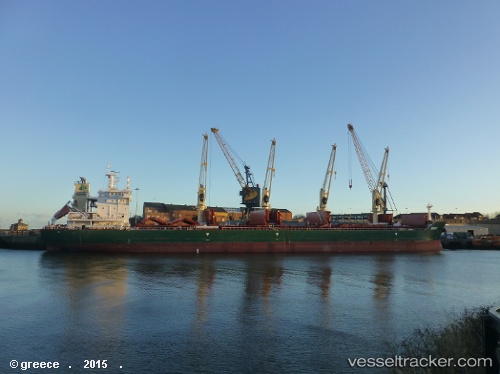
 MUSKY
MUSKY
Current Status
Where is the vessel?
MUSKY is currently in Near Puerto Cabello, based on AIS data received about 1h ago.
Latest AIS update:
Current position: 10.47173° N, 67.99516° W (Near Puerto Cabello)
Average speed (last 7 days): Loading…
Average speed (last 30 days): Loading…
Vessel profile: MUSKY is a Cargo with dimensions m x m.
This page combines live AIS, route history, probable destination signals, nearby traffic, and port activity for practical vessel monitoring.
The current position of vessel MUSKY is 10.47173 lat / -67.99516 lng. Updated: 2026-05-13 17:23:13 UTCNearest reference points:
- Near Bullenbaai
- Near Las Piedras
- 24 nm NW of Palm Beach
Currently sailing under the flag of Marshall Islands ![]()
Details:
Live Vessel MUSKY Analytics (details, animations, etc.)
Recent AIS points (UTC):
2026-05-13 13:41:13 UTC · 10.47170, -67.99515 · SOG 0 kn · COG 221°2026-05-13 15:56:08 UTC · 10.47170, -67.99519 · SOG 0 kn · COG 221°
2026-05-13 17:02:07 UTC · 10.47171, -67.99520 · SOG 0 kn · COG 221°
2026-05-13 17:23:13 UTC · 10.47173, -67.99516 · SOG 0 kn · COG 221°