 vesseltracker.com
 CHRISTOS K
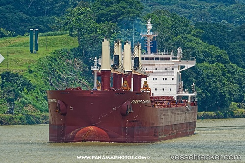
Current Status
Where is the vessel?
CHRISTOS K is currently in 64 nm E of Locustville, based on AIS data received less than 1h ago.
Latest AIS update:
Current position: 37.25505° N, 74.41834° W (64 nm E of Locustville)
Average speed (last 7 days): Loading…
Average speed (last 30 days): Loading…
Vessel profile: CHRISTOS K is a Cargo with dimensions m x m.
This page combines live AIS, route history, probable destination signals, nearby traffic, and port activity for practical vessel monitoring.
The current position of vessel CHRISTOS K is 37.25505 lat / -74.41834 lng. Updated: 2026-05-17 07:40:20 UTCNearest reference points:
- 24 nm E of West Ocean City
- 45 nm NE of Nags Head
- 48 nm E of Nags Head
Currently sailing under the flag of Marshall Islands ![]()
Details:
Live Vessel CHRISTOS K Analytics (details, animations, etc.)
Recent AIS points (UTC):
2026-05-17 05:16:20 UTC · 37.17351, -74.45162 · SOG 2.3 kn · COG 326°2026-05-17 05:43:10 UTC · 37.18964, -74.44567 · SOG 2.1 kn · COG 324°
2026-05-17 07:14:10 UTC · 37.23953, -74.42240 · SOG 1.8 kn · COG 323°
2026-05-17 07:40:20 UTC · 37.25505, -74.41834 · SOG 2.2 kn · COG 326°