 vesseltracker.com
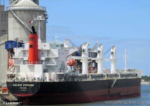
 AGIA CHARIS
Current Status
Where is the vessel?
AGIA CHARIS is currently in Near Oran, based on AIS data received about 1h ago.
Latest AIS update:
Current position: 35.75305° N, 0.64685° W (Near Oran)
Average speed (last 7 days): Loading…
Average speed (last 30 days): Loading…
Vessel profile: AGIA CHARIS is a Bulk Carrier with dimensions m x m.
This page combines live AIS, route history, probable destination signals, nearby traffic, and port activity for practical vessel monitoring.
The current position of vessel AGIA CHARIS is 35.75305 lat / -0.64685 lng. Updated: 2026-04-25 13:53:44 UTCNearest reference points:
- Near Oran
- Near Arzew
- 30 nm N of Mers El Kebir
Currently sailing under the flag of Marshall Islands ![]()
Details:
Live Vessel AGIA CHARIS Analytics (details, animations, etc.)
Recent AIS points (UTC):
2026-04-25 10:47:45 UTC · 35.75304, -0.64650 · SOG 0.1 kn · COG 29°2026-04-25 11:59:44 UTC · 35.75325, -0.64706 · SOG 0 kn · COG 47°
2026-04-25 13:17:42 UTC · 35.75306, -0.64682 · SOG 0.1 kn · COG 39°
2026-04-25 13:53:44 UTC · 35.75305, -0.64685 · SOG 0 kn · COG 38°