 vesseltracker.com
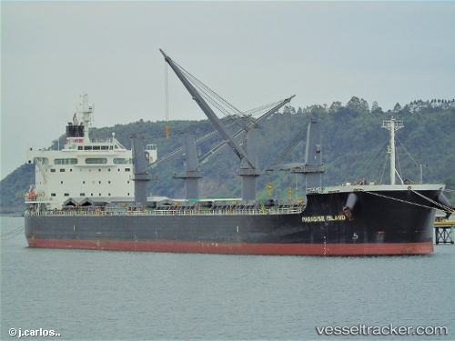
 BOA
BOA
Current Status
Where is the vessel?
BOA is currently in Near New Tuticorin, based on AIS data received less than 1h ago.
Latest AIS update:
Current position: 8.75602° N, 78.21309° E (Near New Tuticorin)
Average speed (last 7 days): Loading…
Average speed (last 30 days): Loading…
Vessel profile: BOA is a Cargo with dimensions m x m.
This page combines live AIS, route history, probable destination signals, nearby traffic, and port activity for practical vessel monitoring.
The current position of vessel BOA is 8.75602 lat / 78.21309 lng. Updated: 2026-04-28 19:21:54 UTCNearest reference points:
- 41 nm S of Nagercoil
- 94 nm W of Dehiwala
- 90 nm W of Moratuwa
Currently sailing under the flag of Marshall Islands ![]()
Details:
Live Vessel BOA Analytics (details, animations, etc.)
Recent AIS points (UTC):
2026-04-28 15:57:56 UTC · 8.75601, 78.21308 · SOG 0 kn · COG 294°2026-04-28 16:22:49 UTC · 8.75500, 78.21167 · SOG 0 kn · COG -1°
2026-04-28 17:33:56 UTC · 8.75600, 78.21310 · SOG 0 kn · COG 294°
2026-04-28 19:21:54 UTC · 8.75602, 78.21309 · SOG 0 kn · COG 294°