 vesseltracker.com
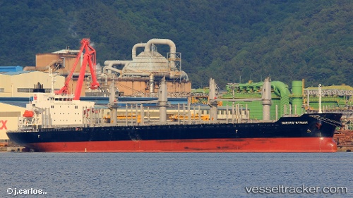
 MANTA NIGAR
Current Status
Where is the vessel?
MANTA NIGAR is currently in Near Wilmington, based on AIS data received less than 1h ago.
Latest AIS update:
Current position: 39.71908° N, 75.52312° W (Near Wilmington)
Average speed (last 7 days): Loading…
Average speed (last 30 days): Loading…
Vessel profile: MANTA NIGAR is a Cargo with dimensions m x m.
This page combines live AIS, route history, probable destination signals, nearby traffic, and port activity for practical vessel monitoring.
The current position of vessel MANTA NIGAR is 39.71908 lat / -75.52312 lng. Updated: 2026-04-30 16:21:05 UTCNearest reference points:
- Near Wilmington
- Near Trainer
- Near Chesapeake City
Currently sailing under the flag of Marshall Islands ![]()
Details:
Live Vessel MANTA NIGAR Analytics (details, animations, etc.)
Recent AIS points (UTC):
2026-04-30 13:30:19 UTC · 39.71910, -75.52310 · SOG 0 kn · COG 289°2026-04-30 14:00:07 UTC · 39.71911, -75.52307 · SOG 0 kn · COG 291°
2026-04-30 16:09:05 UTC · 39.71909, -75.52309 · SOG 0 kn · COG 291°
2026-04-30 16:21:05 UTC · 39.71908, -75.52312 · SOG 0 kn · COG 291°