 vesseltracker.com
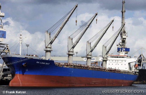
 BAM PROTEUS
Current Status
Where is the vessel?
BAM PROTEUS is currently in Near Veracruz, based on AIS data received less than 1h ago.
Latest AIS update:
Current position: 19.20711° N, 96.13523° W (Near Veracruz)
Average speed (last 7 days): Loading…
Average speed (last 30 days): Loading…
Vessel profile: BAM PROTEUS is a General Cargo with dimensions m x m.
This page combines live AIS, route history, probable destination signals, nearby traffic, and port activity for practical vessel monitoring.
The current position of vessel BAM PROTEUS is 19.20711 lat / -96.13523 lng. Updated: 2026-04-24 12:18:32 UTCNearest reference points:
- Near Veracruz
- 25 nm E of Tuxpan
- Near Coatzacoalcos
Currently sailing under the flag of Marshall Islands ![]()
Details:
Live Vessel BAM PROTEUS Analytics (details, animations, etc.)
Recent AIS points (UTC):
2026-04-24 08:27:25 UTC · 19.20709, -96.13523 · SOG 0 kn · COG 237°2026-04-24 09:27:25 UTC · 19.20712, -96.13520 · SOG 0 kn · COG 238°
2026-04-24 11:03:31 UTC · 19.20710, -96.13521 · SOG 0 kn · COG 237°
2026-04-24 12:18:32 UTC · 19.20711, -96.13523 · SOG 0 kn · COG 237°