 vesseltracker.com
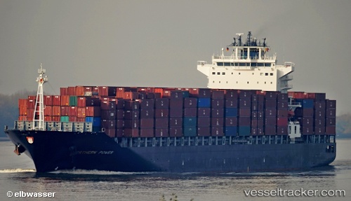
 IRENES POWER
Current Status
Where is the vessel?
IRENES POWER is currently in 11 nm E of Il-Kappara, based on AIS data received less than 1h ago.
Latest AIS update:
Current position: 35.81973° N, 14.79369° E (11 nm E of Il-Kappara)
Average speed (last 7 days): Loading…
Average speed (last 30 days): Loading…
Vessel profile: IRENES POWER is a Container Ship with dimensions m x m.
This page combines live AIS, route history, probable destination signals, nearby traffic, and port activity for practical vessel monitoring.
The current position of vessel IRENES POWER is 35.81973 lat / 14.79369 lng. Updated: 2026-04-28 16:10:26 UTCNearest reference points:
- 13 nm E of Il-Kappara
- 18 nm E of Il-Kappara
- Near Xghajra
Currently sailing under the flag of Marshall Islands ![]()
Details:
Live Vessel IRENES POWER Analytics (details, animations, etc.)
Recent AIS points (UTC):
2026-04-28 11:22:51 UTC · 35.84137, 15.46086 · SOG 10.9 kn · COG 269°2026-04-28 13:25:24 UTC · 35.82713, 15.00516 · SOG 10.7 kn · COG 268°
2026-04-28 13:37:54 UTC · 35.82584, 14.95895 · SOG 10.8 kn · COG 268°
2026-04-28 16:10:26 UTC · 35.81973, 14.79369 · SOG 1.5 kn · COG 88°