 vesseltracker.com
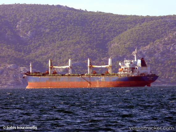
 DORA
DORA
Current Status
Where is the vessel?
DORA is currently in Near Fortaleza, based on AIS data received less than 1h ago.
Latest AIS update:
Current position: 3.64163° S, 38.41321° W (Near Fortaleza)
Average speed (last 7 days): Loading…
Average speed (last 30 days): Loading…
Vessel profile: DORA is a Bulk Carrier with dimensions m x m.
This page combines live AIS, route history, probable destination signals, nearby traffic, and port activity for practical vessel monitoring.
The current position of vessel DORA is -3.64163 lat / -38.41321 lng. Updated: 2026-04-23 10:21:05 UTCNearest reference points:
- 28 nm N of Pecém Pt/São Gonçalo do Amarante
- 81 nm N of Acarau
Currently sailing under the flag of Marshall Islands ![]()
Details:
Live Vessel DORA Analytics (details, animations, etc.)
Recent AIS points (UTC):
2026-04-23 05:51:08 UTC · -3.64234, -38.41300 · SOG 0.2 kn · COG 83°2026-04-23 07:48:02 UTC · -3.64261, -38.41307 · SOG 0.3 kn · COG 85°
2026-04-23 08:00:07 UTC · -3.64265, -38.41304 · SOG 0.3 kn · COG 69°
2026-04-23 10:21:05 UTC · -3.64163, -38.41321 · SOG 0.1 kn · COG 99°