 vesseltracker.com
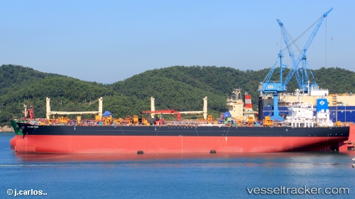
 LOULOULIGHT
Current Status
Where is the vessel?
LOULOULIGHT is currently in 73 nm SW of Umm Lajj, based on AIS data received less than 1h ago.
Latest AIS update:
Current position: 23.94736° N, 36.63256° E (73 nm SW of Umm Lajj)
Average speed (last 7 days): Loading…
Average speed (last 30 days): Loading…
Vessel profile: LOULOULIGHT is a Oil Products Tanker with dimensions m x m.
This page combines live AIS, route history, probable destination signals, nearby traffic, and port activity for practical vessel monitoring.
The current position of vessel LOULOULIGHT is 23.94736 lat / 36.63256 lng. Updated: 2026-04-24 00:10:11 UTCNearest reference points:
- 74 nm SW of Yanbu
- 35 nm S of Umm Lajj
- 30 nm SW of Yanbu
Currently sailing under the flag of Marshall Islands ![]()
Details:
Live Vessel LOULOULIGHT Analytics (details, animations, etc.)
Recent AIS points (UTC):
2026-04-23 19:51:10 UTC · 24.71639, 36.15996 · SOG 12.4 kn · COG 158°2026-04-23 21:21:41 UTC · 24.43124, 36.30481 · SOG 12.3 kn · COG 144°
2026-04-23 22:34:31 UTC · 24.22475, 36.44962 · SOG 11.8 kn · COG 143°
2026-04-24 00:10:11 UTC · 23.94736, 36.63256 · SOG 12.3 kn · COG 151°