 vesseltracker.com
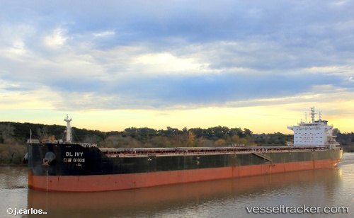
 XIN HAI TONG 805
Current Status
Where is the vessel?
XIN HAI TONG 805 is currently in 52 nm N of Villanueva de Lorenzana, based on AIS data received about 1h ago.
Latest AIS update:
Current position: 44.30667° N, 8.98333° W (52 nm N of Villanueva de Lorenzana)
Average speed (last 7 days): Loading…
Average speed (last 30 days): Loading…
Vessel profile: XIN HAI TONG 805 is a Cargo with dimensions m x m.
This page combines live AIS, route history, probable destination signals, nearby traffic, and port activity for practical vessel monitoring.
The current position of vessel XIN HAI TONG 805 is 44.30667 lat / -8.98333 lng. Updated: 2026-05-15 00:55:22 UTCNearest reference points:
- 30 nm NW of Meiras-Valdoviño
- 13 nm NE of Villanueva de Lorenzana
- 15 nm NW of CEDEIRA
Currently sailing under the flag of Marshall Islands ![]()
Details:
Live Vessel XIN HAI TONG 805 Analytics (details, animations, etc.)
Recent AIS points (UTC):
2026-05-14 22:24:12 UTC · 44.07360, -9.15448 · SOG 6.2 kn · COG 25°2026-05-14 22:56:42 UTC · 44.12358, -9.11850 · SOG 6 kn · COG 24°
2026-05-14 23:48:22 UTC · 44.20265, -9.06208 · SOG 6.3 kn · COG 26°
2026-05-15 00:55:22 UTC · 44.30667, -8.98333 · SOG 6 kn · COG -1°