 vesseltracker.com
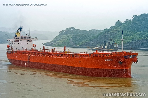
 BANGOR
Current Status
Where is the vessel?
BANGOR is currently in Near City Beach, based on AIS data received about 1h ago.
Latest AIS update:
Current position: 31.91783° S, 115.65567° E (Near City Beach)
Average speed (last 7 days): Loading…
Average speed (last 30 days): Loading…
Vessel profile: BANGOR is a Cabu Carrier with dimensions m x m.
This page combines live AIS, route history, probable destination signals, nearby traffic, and port activity for practical vessel monitoring.
The current position of vessel BANGOR is -31.91783 lat / 115.65567 lng. Updated: 2026-05-15 11:34:41 UTCNearest reference points:
- Near ROTTNEST ISLAND
- Near Fremantle
- Near Kwinana
Currently sailing under the flag of Marshall Islands ![]()
Details:
Live Vessel BANGOR Analytics (details, animations, etc.)
Recent AIS points (UTC):
2026-05-15 08:19:33 UTC · -31.91740, 115.65552 · SOG 0.1 kn · COG 242°2026-05-15 10:25:42 UTC · -31.91767, 115.65567 · SOG 0.1 kn · COG 245°
2026-05-15 11:01:41 UTC · -31.91767, 115.65567 · SOG 0 kn · COG 245°
2026-05-15 11:34:41 UTC · -31.91783, 115.65567 · SOG 0.2 kn · COG 247°