 vesseltracker.com
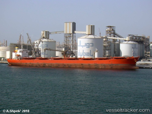
 BARCARENA
Current Status
Where is the vessel?
BARCARENA is currently in 146 nm NW of Isla de Margarita, based on AIS data received less than 1h ago.
Latest AIS update:
Current position: 13.18848° N, 65.08908° W (146 nm NW of Isla de Margarita)
Average speed (last 7 days): Loading…
Average speed (last 30 days): Loading…
Vessel profile: BARCARENA is a Cabu Carrier with dimensions m x m.
This page combines live AIS, route history, probable destination signals, nearby traffic, and port activity for practical vessel monitoring.
The current position of vessel BARCARENA is 13.18848 lat / -65.08908 lng. Updated: 2026-05-16 06:00:16 UTCNearest reference points:
- 15 nm SW of Punta de Piedras
Currently sailing under the flag of Marshall Islands ![]()
Details:
Live Vessel BARCARENA Analytics (details, animations, etc.)
Recent AIS points (UTC):
2026-05-16 01:56:07 UTC · 13.48465, -65.69200 · SOG 9.8 kn · COG 115°2026-05-16 03:47:54 UTC · 13.34920, -65.41976 · SOG 9.6 kn · COG 111°
2026-05-16 05:11:15 UTC · 13.24935, -65.21192 · SOG 9.8 kn · COG 108°
2026-05-16 06:00:16 UTC · 13.18848, -65.08908 · SOG 9.8 kn · COG 109°