 vesseltracker.com
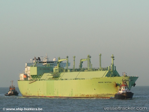
 MARIGOLD LNG
Current Status
Where is the vessel?
MARIGOLD LNG is currently in 278 nm SW of Positra, based on AIS data received less than 1h ago.
Latest AIS update:
Current position: 19.15707° N, 65.64362° E (278 nm SW of Positra)
Average speed (last 7 days): Loading…
Average speed (last 30 days): Loading…
Vessel profile: MARIGOLD LNG is a Lng Tanker with dimensions m x m.
This page combines live AIS, route history, probable destination signals, nearby traffic, and port activity for practical vessel monitoring.
The current position of vessel MARIGOLD LNG is 19.15707 lat / 65.64362 lng. Updated: 2026-04-23 13:25:07 UTCNearest reference points:
- 231 nm SW of Keti Bandar
- 262 nm SE of SUR
- Open sea, approx. 402 nm off the nearest listed port
Currently sailing under the flag of Marshall Islands ![]()
Details:
Live Vessel MARIGOLD LNG Analytics (details, animations, etc.)
Recent AIS points (UTC):
2026-04-23 09:30:03 UTC · 19.15837, 65.63137 · SOG 0.1 kn · COG 30°2026-04-23 10:43:40 UTC · 19.15872, 65.62973 · SOG 0.1 kn · COG 42°
2026-04-23 12:23:26 UTC · 19.16152, 65.64088 · SOG 0.5 kn · COG 39°
2026-04-23 13:25:07 UTC · 19.15707, 65.64362 · SOG 0.4 kn · COG 57°