 vesseltracker.com
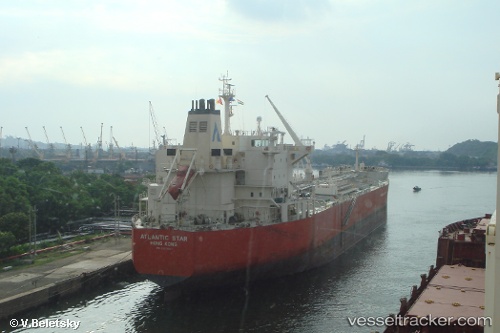
 ATLANTIS AMSTERDAM
Current Status
Where is the vessel?
ATLANTIS AMSTERDAM is currently in Near Salt River, based on AIS data received about 1h ago.
Latest AIS update:
Current position: 33.91887° S, 18.44615° E (Near Salt River)
Average speed (last 7 days): Loading…
Average speed (last 30 days): Loading…
Vessel profile: ATLANTIS AMSTERDAM is a Oil/Chemical Tanker with dimensions m x m.
This page combines live AIS, route history, probable destination signals, nearby traffic, and port activity for practical vessel monitoring.
The current position of vessel ATLANTIS AMSTERDAM is -33.91887 lat / 18.44615 lng. Updated: 2026-04-23 19:53:53 UTCNearest reference points:
- Near Salt River
- Near Ben Schoeman Dock
- Near Cape Town
Currently sailing under the flag of Marshall Islands ![]()
Details:
Live Vessel ATLANTIS AMSTERDAM Analytics (details, animations, etc.)
Recent AIS points (UTC):
2026-04-23 16:11:42 UTC · -33.91887, 18.44616 · SOG 0 kn · COG 133°2026-04-23 18:02:44 UTC · -33.91889, 18.44616 · SOG 0 kn · COG 133°
2026-04-23 19:41:44 UTC · -33.91890, 18.44616 · SOG 0 kn · COG 133°
2026-04-23 19:53:53 UTC · -33.91887, 18.44615 · SOG 0 kn · COG 133°