 vesseltracker.com
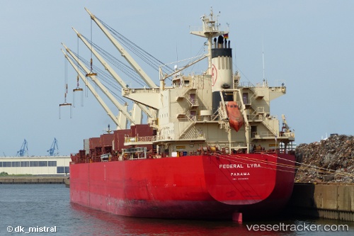
 LYRA M
Current Status
Where is the vessel?
LYRA M is currently in 300 nm S of Sao Filipe, based on AIS data received less than 1h ago.
Latest AIS update:
Current position: 9.90333° N, 24.49000° W (300 nm S of Sao Filipe)
Average speed (last 7 days): Loading…
Average speed (last 30 days): Loading…
Vessel profile: LYRA M is a Bulk Carrier with dimensions m x m.
This page combines live AIS, route history, probable destination signals, nearby traffic, and port activity for practical vessel monitoring.
The current position of vessel LYRA M is 9.90333 lat / -24.49000 lng. Updated: 2026-05-15 13:25:02 UTCNearest reference points:
- Open sea (no nearby ports in database)
- Open sea, approx. 555 nm off the nearest listed port
- Open sea, approx. 401 nm off the nearest listed port
Currently sailing under the flag of Marshall Islands ![]()
Details:
Live Vessel LYRA M Analytics (details, animations, etc.)
Recent AIS points (UTC):
2026-05-15 10:34:01 UTC · 9.40167, -24.73667 · SOG 11 kn · COG -1°2026-05-15 12:21:51 UTC · 9.71969, -24.58129 · SOG 11.8 kn · COG 21°
2026-05-15 13:22:03 UTC · 9.89500, -24.49500 · SOG 11 kn · COG -1°
2026-05-15 13:25:02 UTC · 9.90333, -24.49000 · SOG 11 kn · COG -1°