 vesseltracker.com
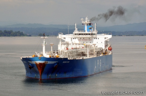
 BADRINATH
Current Status
Where is the vessel?
BADRINATH is currently in 337 nm E of Richards Bay, based on AIS data received less than 1h ago.
Latest AIS update:
Current position: 30.72095° S, 38.21935° E (337 nm E of Richards Bay)
Average speed (last 7 days): Loading…
Average speed (last 30 days): Loading…
Vessel profile: BADRINATH is a Tanker with dimensions m x m.
This page combines live AIS, route history, probable destination signals, nearby traffic, and port activity for practical vessel monitoring.
The current position of vessel BADRINATH is -30.72095 lat / 38.21935 lng. Updated: 2026-05-14 18:20:45 UTCNearest reference points:
- Open sea, approx. 400 nm off the nearest listed port
- Open sea, approx. 401 nm off the nearest listed port
- Open sea, approx. 402 nm off the nearest listed port
Currently sailing under the flag of Marshall Islands ![]()
Details:
Live Vessel BADRINATH Analytics (details, animations, etc.)
Recent AIS points (UTC):
2026-05-14 13:55:03 UTC · -31.16833, 37.07167 · SOG 14 kn · COG -1°2026-05-14 16:03:51 UTC · -30.95444, 37.61930 · SOG 15.2 kn · COG 66°
2026-05-14 16:08:50 UTC · -30.94578, 37.64173 · SOG 15.1 kn · COG 67°
2026-05-14 18:20:45 UTC · -30.72095, 38.21935 · SOG 15.1 kn · COG 66°