 vesseltracker.com
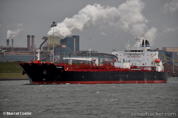
 CAPTAIN NIKOS
Current Status
Where is the vessel?
CAPTAIN NIKOS is currently in 99 nm SE of Morant Bay, based on AIS data received about 2h ago.
Latest AIS update:
Current position: 16.63067° N, 75.29045° W (99 nm SE of Morant Bay)
Average speed (last 7 days): Loading…
Average speed (last 30 days): Loading…
Vessel profile: CAPTAIN NIKOS is a Tanker with dimensions m x m.
This page combines live AIS, route history, probable destination signals, nearby traffic, and port activity for practical vessel monitoring.
The current position of vessel CAPTAIN NIKOS is 16.63067 lat / -75.29045 lng. Updated: 2026-04-30 04:05:40 UTCCurrently sailing under the flag of Marshall Islands ![]()
Details:
Live Vessel CAPTAIN NIKOS Analytics (details, animations, etc.)
Recent AIS points (UTC):
2026-04-30 01:18:20 UTC · 16.43033, -74.77960 · SOG 11.6 kn · COG 292°2026-04-30 01:18:20 UTC · 16.43033, -74.77960 · SOG 11.6 kn · COG 292°
2026-04-30 03:18:42 UTC · 16.57490, -75.14575 · SOG 11.3 kn · COG 293°
2026-04-30 04:05:40 UTC · 16.63067, -75.29045 · SOG 11.5 kn · COG 293°