 vesseltracker.com
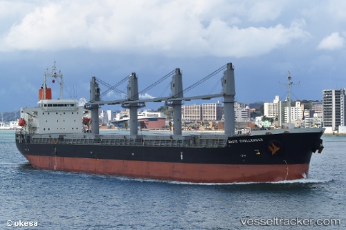
 CETUS SEI
Current Status
Where is the vessel?
CETUS SEI is currently in Near Bunbury, based on AIS data received about 2h ago.
Latest AIS update:
Current position: 33.27813° S, 115.59480° E (Near Bunbury)
Average speed (last 7 days): Loading…
Average speed (last 30 days): Loading…
Vessel profile: CETUS SEI is a Cargo with dimensions m x m.
This page combines live AIS, route history, probable destination signals, nearby traffic, and port activity for practical vessel monitoring.
The current position of vessel CETUS SEI is -33.27813 lat / 115.59480 lng. Updated: 2026-04-30 04:27:02 UTCNearest reference points:
- Near Bunbury
- Near Kwinana
- Near Fremantle
Currently sailing under the flag of Marshall Islands ![]()
Details:
Live Vessel CETUS SEI Analytics (details, animations, etc.)
Recent AIS points (UTC):
2026-04-30 02:03:09 UTC · -33.27678, 115.59713 · SOG 0.3 kn · COG 273°2026-04-30 02:06:08 UTC · -33.27691, 115.59713 · SOG 0.2 kn · COG 280°
2026-04-30 03:57:09 UTC · -33.27741, 115.59696 · SOG 0.1 kn · COG 305°
2026-04-30 04:27:02 UTC · -33.27813, 115.59480 · SOG 2.3 kn · COG 292°