 vesseltracker.com
 SAMBA
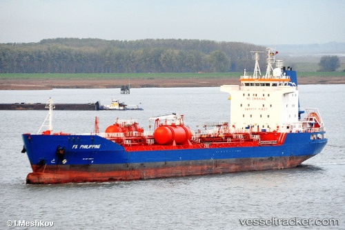
SAMBA
Current Status
Where is the vessel?
SAMBA is currently in 26 nm S of Larnaca, based on AIS data received less than 1h ago.
Latest AIS update:
Current position: 34.50568° N, 33.80839° E (26 nm S of Larnaca)
Average speed (last 7 days): Loading…
Average speed (last 30 days): Loading…
Vessel profile: SAMBA is a Oil/Chemical Tanker with dimensions m x m.
This page combines live AIS, route history, probable destination signals, nearby traffic, and port activity for practical vessel monitoring.
The current position of vessel SAMBA is 34.50568 lat / 33.80839 lng. Updated: 2026-04-30 22:10:29 UTCNearest reference points:
- 31 nm SE of Vasilikos
- 17 nm S of Vasilikos
- Near Larnaca
Currently sailing under the flag of Marshall Islands ![]()
Details:
Live Vessel SAMBA Analytics (details, animations, etc.)
Recent AIS points (UTC):
2026-04-30 19:51:09 UTC · 34.50375, 33.79770 · SOG 0.4 kn · COG 331°2026-04-30 20:08:18 UTC · 34.50421, 33.79952 · SOG 0.3 kn · COG 336°
2026-04-30 21:47:40 UTC · 34.50504, 33.80689 · SOG 0.2 kn · COG 354°
2026-04-30 22:10:29 UTC · 34.50568, 33.80839 · SOG 0.1 kn · COG 349°