 vesseltracker.com
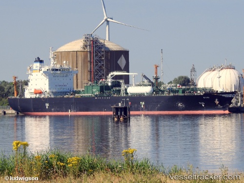
 SYMI
SYMI
Current Status
Where is the vessel?
SYMI is currently in 10 nm E of RAS LAFFAN, based on AIS data received about 1h ago.
Latest AIS update:
Current position: 25.86081° N, 51.81045° E (10 nm E of RAS LAFFAN)
Average speed (last 7 days): Loading…
Average speed (last 30 days): Loading…
Vessel profile: SYMI is a Lpg Tanker with dimensions m x m.
This page combines live AIS, route history, probable destination signals, nearby traffic, and port activity for practical vessel monitoring.
The current position of vessel SYMI is 25.86081 lat / 51.81045 lng. Updated: 2026-04-24 19:28:07 UTCNearest reference points:
- Near RAS LAFFAN
- 21 nm NE of Halul Island
- Near KHALIFA BIN SALMAN
Currently sailing under the flag of Marshall Islands ![]()
Details:
Live Vessel SYMI Analytics (details, animations, etc.)
Recent AIS points (UTC):
2026-04-24 15:39:58 UTC · 25.86086, 51.81065 · SOG 0 kn · COG 339°2026-04-24 17:48:10 UTC · 25.86087, 51.81064 · SOG 0 kn · COG 343°
2026-04-24 18:17:21 UTC · 25.86096, 51.81109 · SOG 0 kn · COG 327°
2026-04-24 19:28:07 UTC · 25.86081, 51.81045 · SOG 0 kn · COG 348°