 vesseltracker.com
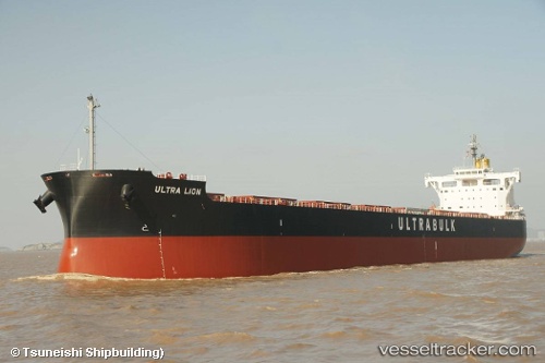
 JAG AMOL
Current Status
Where is the vessel?
JAG AMOL is currently in 52 nm S of Claonaig, based on AIS data received less than 1h ago.
Latest AIS update:
Current position: 54.89167° N, 5.51333° E (52 nm S of Claonaig)
Average speed (last 7 days): Loading…
Average speed (last 30 days): Loading…
Vessel profile: JAG AMOL is a Cargo with dimensions m x m.
This page combines live AIS, route history, probable destination signals, nearby traffic, and port activity for practical vessel monitoring.
The current position of vessel JAG AMOL is 54.89167 lat / 5.51333 lng. Updated: 2026-05-14 10:52:44 UTCNearest reference points:
- 14 nm NW of Town Quays/Drogheda
- Near LEEUWARDEN
- Near FRANEKER
Currently sailing under the flag of Marshall Islands ![]()
Details:
Live Vessel JAG AMOL Analytics (details, animations, etc.)
Recent AIS points (UTC):
2026-05-14 08:23:57 UTC · 54.46907, 5.32086 · SOG 10.4 kn · COG 14°2026-05-14 10:13:56 UTC · 54.77724, 5.46421 · SOG 10.4 kn · COG 11°
2026-05-14 10:32:42 UTC · 54.82987, 5.48370 · SOG 10.5 kn · COG 16°
2026-05-14 10:52:44 UTC · 54.89167, 5.51333 · SOG 12 kn · COG -1°